The 1952 Rezoning Fight
In 1952, a developer called The Hooper Company filed a petition to rezone 115 acres of land along Philadelphia Road — the wooded, creek-cut tract that would eventually become the Red House Run neighborhood — from residential to group housing. They wanted to build 800 group homes and 50 cottages on land that the county called too rugged for regular development.
What followed was a years-long legal fight through the Baltimore County Zoning Commissioner, the Board of Zoning Appeals, and the Circuit Court. The documents here are the original record — petitions, opinions, maps, engineering surveys, and letters from 1952 and 1953.
 Documents
6 original pages
Documents
6 original pages
The Rezoning Petition (1952)
A developer asked Baltimore County to rezone 115 acres next to Red House Run for group housing. This is the petition they filed — and the Commissioner's decision that kicked off a two-year legal fight.
 Documents
6 original pages
Documents
6 original pages
The Legal Record (1952-1953)
Neighbors led by the Seling family appealed and took the case to court. This is the complete record: the Board's full written opinion weighing drainage, sewer capacity, and the welfare of the community — and the Circuit Court order that followed.
 Documents
6 original pages
Documents
6 original pages
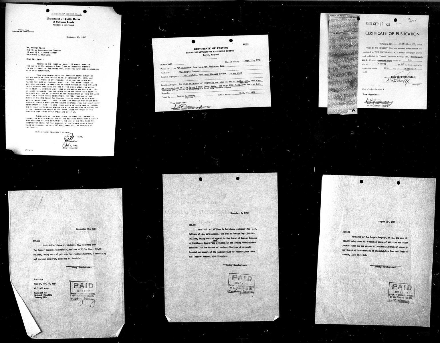
Supporting Letters & Reports
The administrative paper trail: County letters on sewer capacity, official certificates of posting and publication in The Jeffersonian, and fee receipts documenting what each stage of the proceedings cost.
 Map
1 original page
Map
1 original page
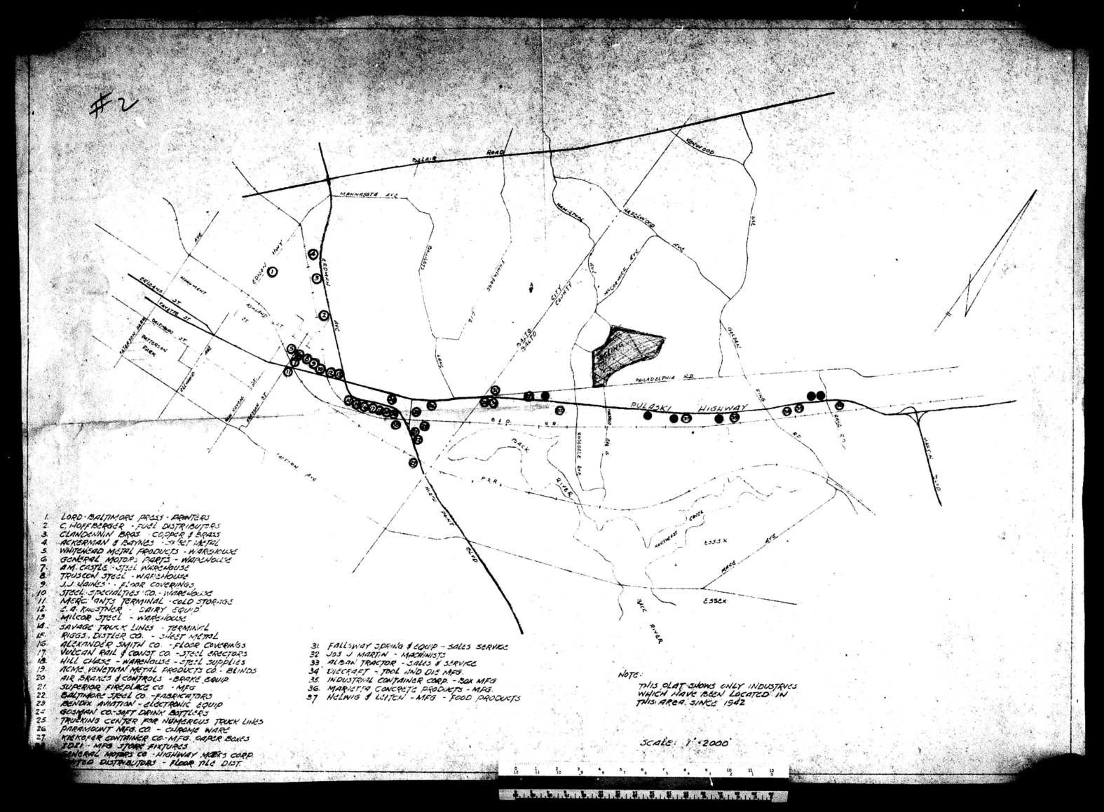
Exhibit #2: Industrial Activity Map
A hand-drawn exhibit plotting 37 businesses along the Pulaski Highway corridor — submitted as evidence the area had industrialized. Open the section to read every business by name: a snapshot of who was operating here in the early 1950s.
 Map
2 original pages
Map
2 original pages
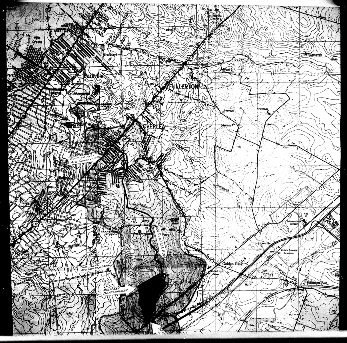
Area Context Maps
Two USGS topographic maps showing the proposed 115-acre development in geographic context, with surrounding neighborhoods labeled and density comparisons annotated — Parkville, Overlea, Rosedale, and Back River all visible.
 Map
2 original pages
Map
2 original pages
The Proposed Development Plan
The developer's actual blueprint: 800 group home units, 50 cottages, and a school site drawn by a licensed surveyor. This is what the neighborhood was fighting against.